The Little Red Deer River
The Little Red begins its 200-kilometre journey on the Eastern Slopes of the Alberta Foothills west of Cremona.
Fed by tributaries that include the Grease, Big Prairie and Dogpound creeks, the Little Red has a drainage area of just over 2,350 square kilometres. It travels through lands that are used for recreation, grazing, logging and forage production on its way to meet the Red Deer River west of Innisfail, Alberta.
Purpose and Focus
The Water Quality and You 2.0 program was launched in 2022 to promote land stewardship practices along the Little Red Deer River and its tributaries—and to promote the benefits of land conservation and conservation easements.
Whereas WQY1.0 focussed on the Red Deer River within Mountain View County, WQY2.0 is focussed along the Little Red Deer River.
The Value of a Healthy River
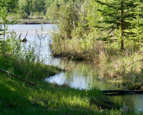
The rich tapestry of riparian areas, where diverse vegetation thrives along the water’s edge, creates essential transition zones between the river and upland vegetation.
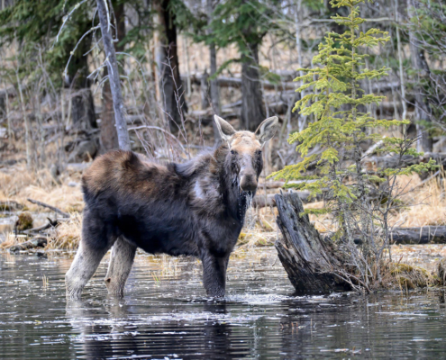
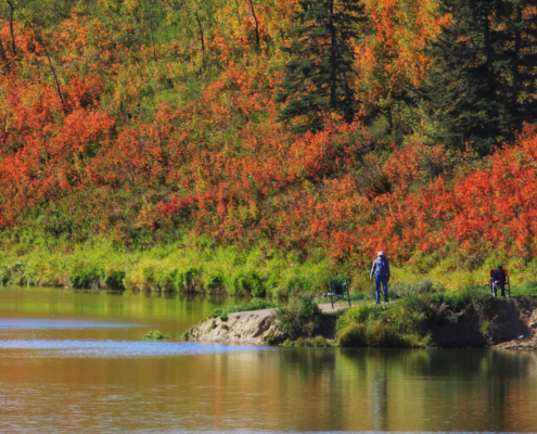
These riparian zones have many ecological functions including protecting water quality, providing wildlife habitat and offering natural areas for enjoyment and recreation.
A healthy, functioning Little Red Deer River subwatershed provides resistance to drought and flooding as well as good water quality that supports the communities around it. It also supports natural functions and processes including wildlife habitat, water filtration and soil stability.
We gratefully acknowledge funding for this project from
Watershed Resiliency and Restoration Program
View two of Legacy’s conservation easements on the Little Red here and here.


